DRONE AERIAL IMAGING / PORTFOLIO

Our Work

Aerial perspectives that deliver results.

Explore our approach to aerial mapping, construction documentation, inspections, and commercial property imaging.

PROJECT SHOWCASE

Seeing the Bigger Picture

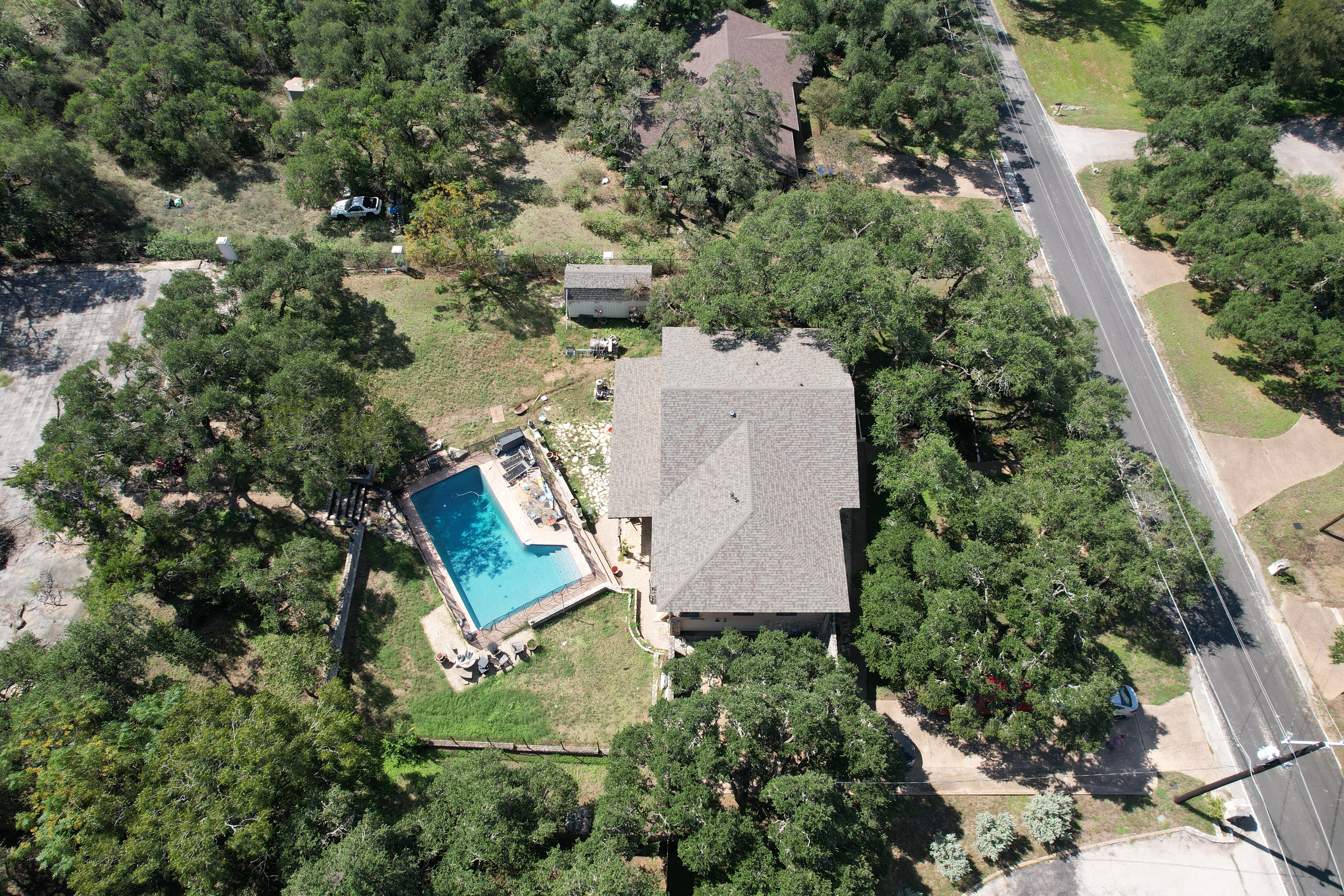
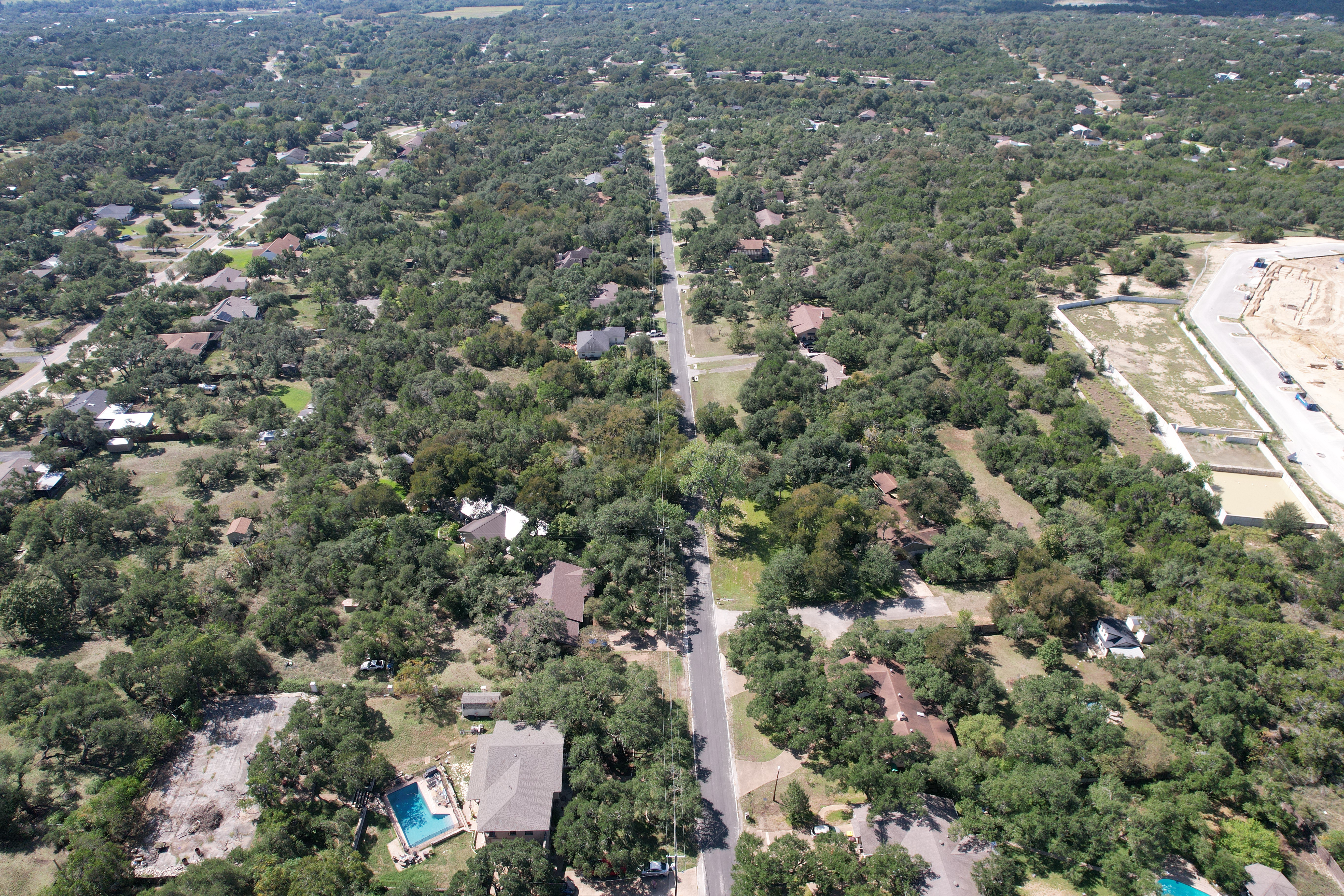
Aerial imaging offers a unique perspective on properties, construction sites, and infrastructure. Explore completed aerial photography projects, including high-resolution HDR imagery. More mapping, inspection, and construction projects will be added as they become available.

WHAT YOU'LL FIND HERE

Portfolio Categories

As projects are added, our portfolio will be organized into the following service categories.

01

Aerial Mapping

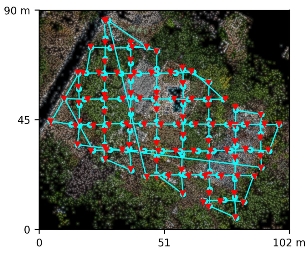
Orthomosaics, terrain products, stockpile documentation, and site imagery.

02

Construction Monitoring

Progress photography, construction milestones, and aerial site overviews.

03

Aerial Inspections

Detailed visual documentation of rooftops, commercial buildings, and infrastructure.

04

Real Estate & Commercial Property

HDR aerial photography, property videos, and eight-point cardinal imagery.

05

Insurance Documentation

Roof conditions, storm-related visual documentation, and pre-loss property imagery.

COMING WITH FUTURE PROJECTS

More Than Just Photographs

Future portfolio additions will include HDR before-and-after comparisons and eight-point cardinal-direction galleries, allowing visitors to explore properties from multiple perspectives.

LET'S DISCUSS YOUR PROJECT

Have a Project in Mind?

Tell us what you're looking to capture, document, or measure.

Request a Project Quote →