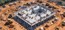
01
Construction Progress Monitoring
Recurring aerial imagery to document changes throughout the construction lifecycle.
COMMERCIAL DRONE SERVICES / CENTRAL TEXAS
Aerial imagery and video to track progress, document site conditions, and keep your project moving forward.
BUILT FOR PROGRESS
Drone imagery helps construction teams monitor activity, document changes, and communicate progress with clear, consistent aerial data.
From site preparation to final build-out, we deliver imagery and video that supports better decision-making, keeps stakeholders informed, and provides a visual record of your project from start to finish.
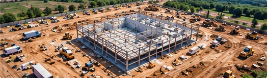
OUR SERVICES
Our construction documentation services provide clear, consistent visual information throughout your project.
Recurring aerial imagery to document changes throughout the construction lifecycle.
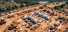
High-resolution aerial photographs showing overall site conditions, access roads, equipment, and active work areas.
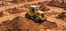
Visual documentation of excavation, grading, material movement, and site preparation.
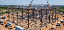
Aerial imagery captured at important construction milestones for project records and stakeholder updates.
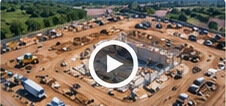
Aerial video documenting site activity, progress, and overall project conditions.
COMMON APPLICATIONS
Office, retail, industrial and multi-family projects.
Site preparation, subdivisions and infrastructure.
Roadways, utilities and public works projects.
Grading, earthwork and ongoing site documentation.
OUR PROCESS
Discuss your project goals and requirements.
Plan the right approach for your site conditions.
Capture high-resolution imagery and video.
Receive imagery and files for your workflow.